

A few weeks ago I spent an enjoyable 3 days photographing in David Thompson Country with my friend and photographer David Buzzeo ( Buzzeophotography.com )
David Thompson Country is located in west central Alberta, basically along Highway 11 west of Rocky Mountain House. It is named for fur trader and cartographer David Thompson. I have posted about two previous visits on my blog: last January when I was attempting to photograph ice bubbles … Day Trippin’ , and three years ago when I went backpacking in the area … Backpacking Trip .
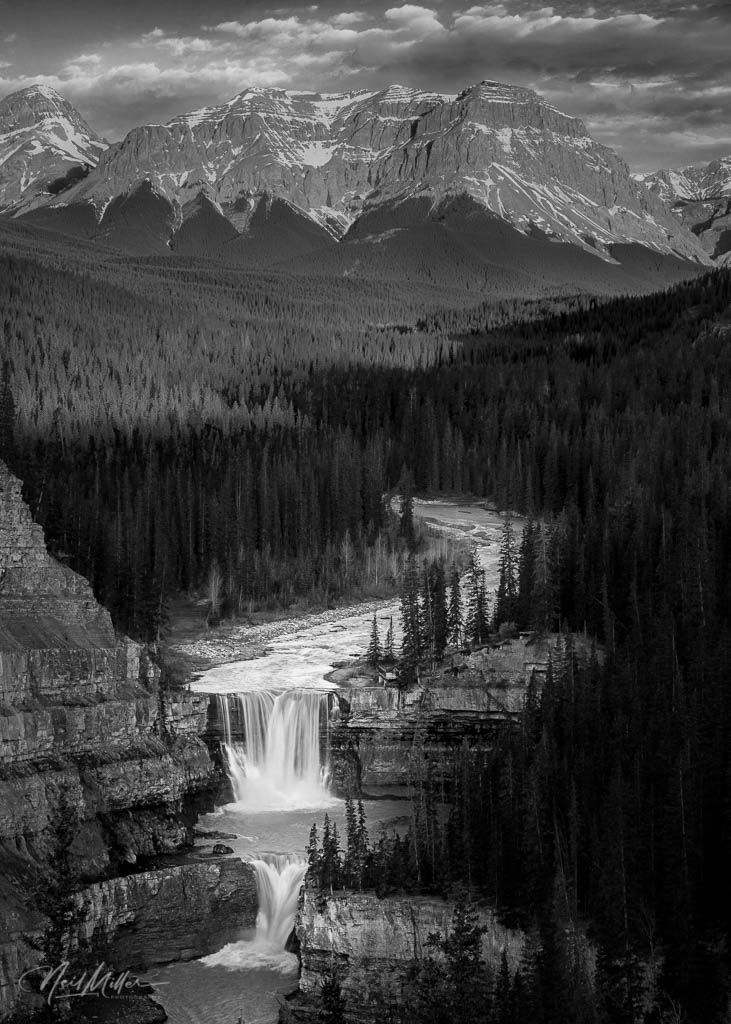
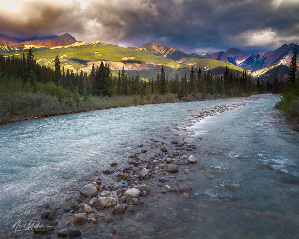
Our trip started off with a visit to Crescent Falls on the Bighorn River. I had camped here in the Spring of 2018 and took the photo to the left of the falls.
Our plan was to photograph the falls from below. We finally found a very steep path that would take us down into Bighorn Gorge. We were able to hike along the river for a ways but it eventually became clear that we were going to have to wade back and forth across the river a couple of times. With lots of interesting shots along the portion of the river that was fairly easily accessible to us, we decided not to go all the way to the falls.
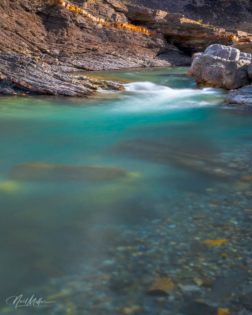
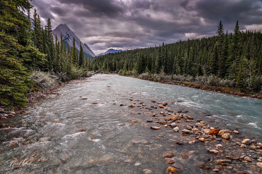
The two images below are of a couple of the little waterfalls we encountered as we hiked along the river.

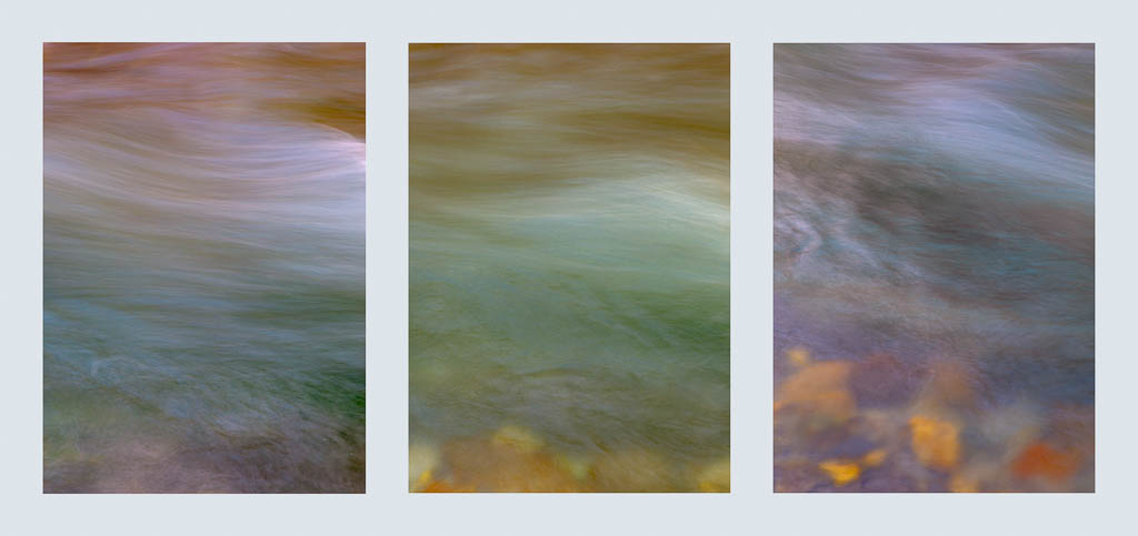
At one point, I became fascinated with light reflections on the water. Colored light reflecting off the walls of the gorge combined with the color of the river and the rocky bed created some beautiful, abstract color patterns as shown in the following images.

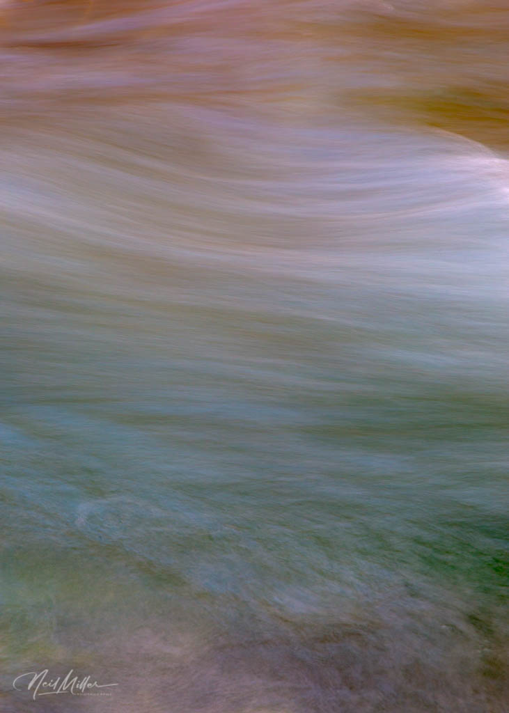
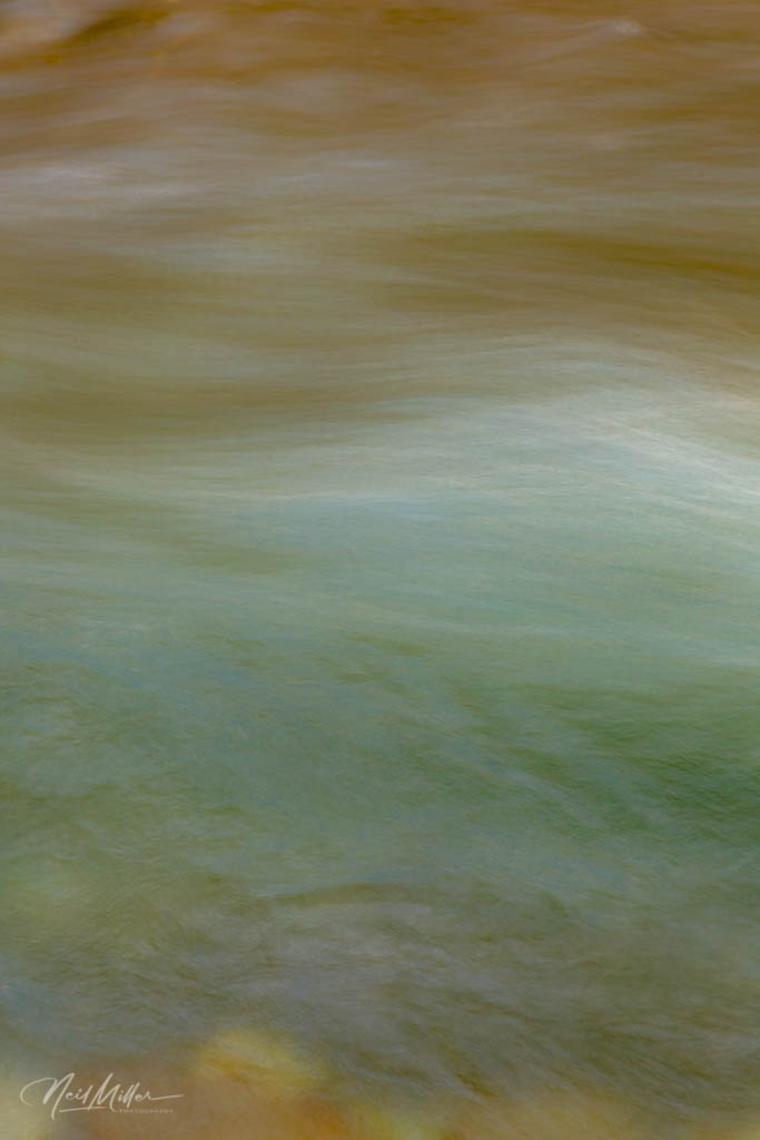

In fact, three of them would make a nice triptych. What do you think?
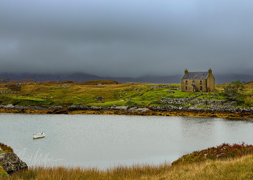
Later in the afternoon we set up camp at the Fish Lake campground. My wife and I had camped here a couple of times back in the ’80’s when we had a little tent trailer. I was happy to see that the campground is still just as nice as it was back then.
Having a friend along on this camping trip inspired me to be a little more creative with the meal menus than I typically am when camping on my own. Dinner was Basil Chicken Pasta and salad. The pasta was pretty good, if I do say so myself.
The next morning, after a hearty breakfast omelet, we struck off to hike up to Siffleur Falls. This was a new hike for me, although David has done it several times in the past. It is a reasonably easy 14 km return hike although with a camera bag and tripod on my back it took a bit of effort. While the falls at the top are spectacular, the scenery along the way made for some beautiful stops.


That evening we drove into Nordegg for sunset. On previous visits, David had found quite a few old miner’s cabins on the edge of town (Nordegg is an old coal-mining town). Unfortunately it appears they have almost all been torn down to make way for a new development. There was still one old cabin, or possibly a store given it’s false front, that we were able to photograph.


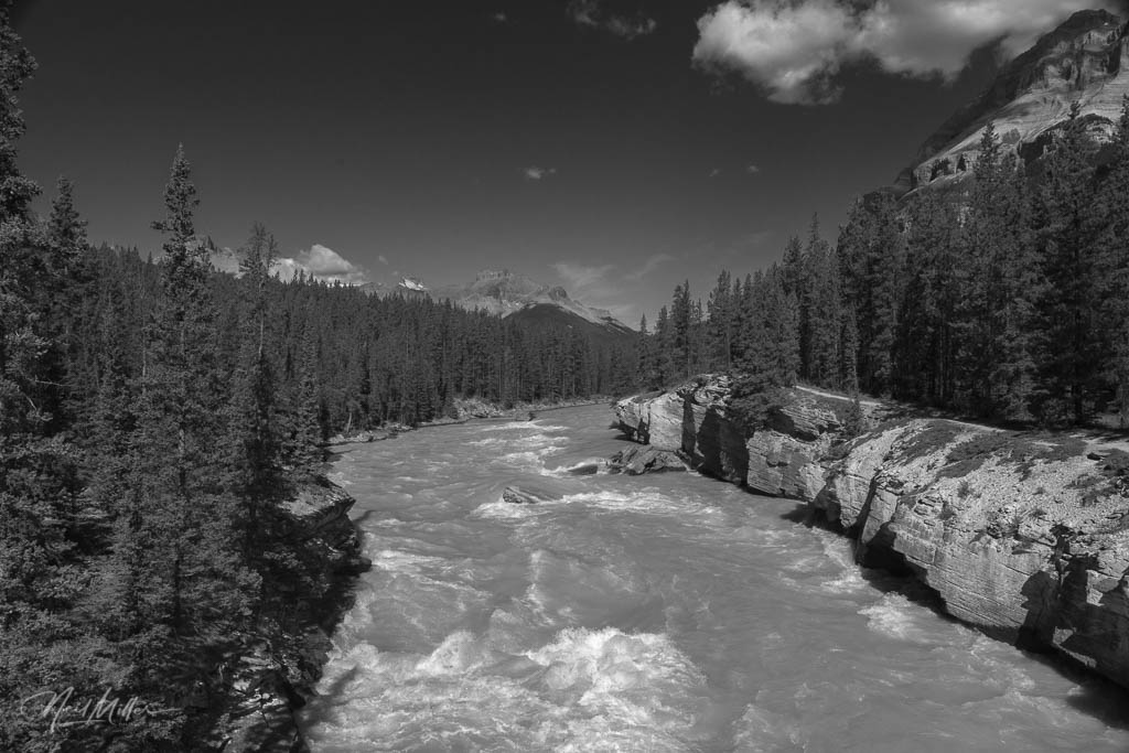
For our final morning we headed west to the intersection of Highway 11 and the Banff-Jasper Highway (Hwy 93) for a hike to the Howse Pass outlook. Our hike was broken into two parts. About a kilometer and a half into the hike we came to a bridge over the North Saskatchewan River. We spent some worthwhile time here exploring and photographing the area.


Another 1.5 km or so brings you to the Howse Pass Outlook. The view was spectacular although the extremely strong wind made keeping the tripod steady a bit of a challenge. Howse Pass through the mountains was a route between the Saskatchewan River and the Columbia River used by First Nations People and fur traders.


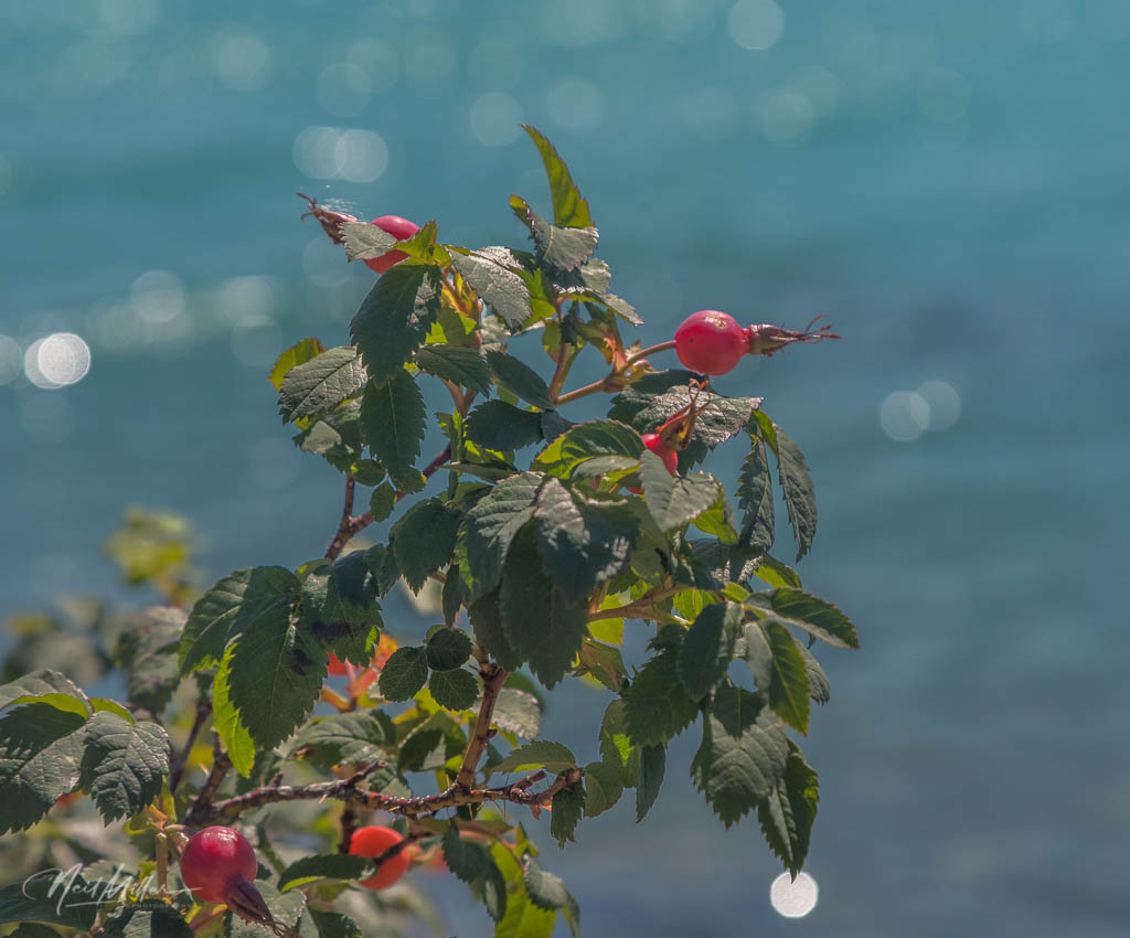
Following the hike, and lunch back in the parking lot, we set off for home. Our route took us back along Lake Abraham so we stopped for a few final images.
My thanks to David Buzzeo for sharing his knowledge of the area. It was a great 3 days!
To view more of my images, please visit my website NeilMillerPhotography.com – just click the “Photo Gallery” tab at the top of the page to go directly to my other site. While there, please sign up for my quarterly newsletter to be advised about new images added to my galleries.


Leave a comment