

For my final day of this Route 66 adventure I wanted to be in Amboy, CA just a bit before sunset so that I could photograph the new Roy’s sign during blue hour – but more on that later in this post.
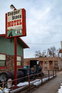
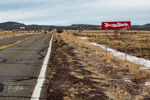
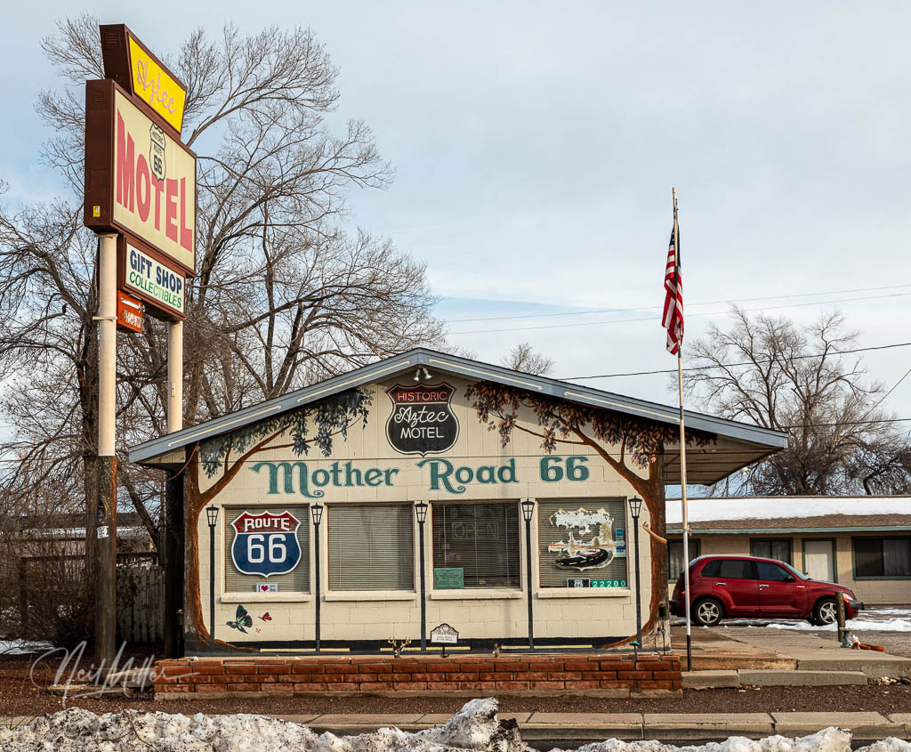
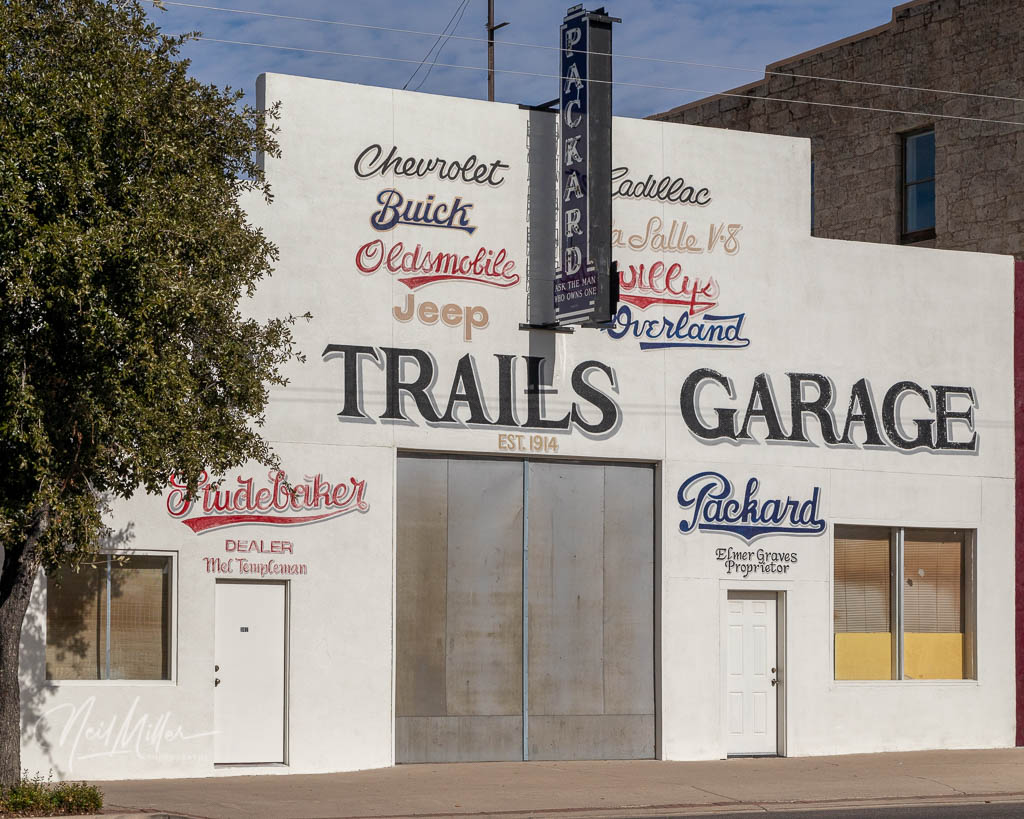
After breakfast at Anna’s Place, downstairs from my room, I hit the road. My first stop was Ash Fork. As Route 66 follows the railway for much of its distance, it’s no surprise that most towns along the route originated as rail towns. And Ash Fork is no exception. In the 1880’s the town emerged as a railway hub and an important source of flagstone from nearby quarries. The flagstone was used to build bridges and other structures. Today Ash Fork calls itself the Flagstone Capital of the World. The image to the right shows a Route 66 motel in Ash Fork, complete with flagstone on the exterior walls.
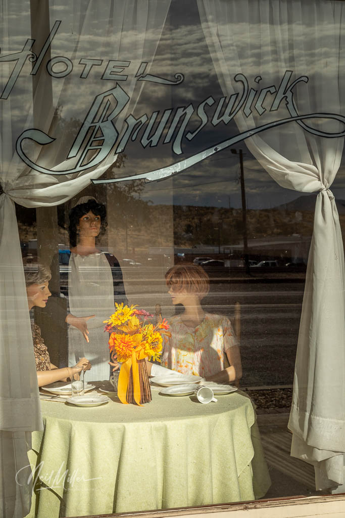
At one time, Ash Fork was home to the Hotel Escalante, billed as the finest Harvey House Hotel west of Chicago. Built in 1907 it closed in the early ’50s and was demolished by the railway in 1968. It’s loss was just one factor that led to the decline of Ash Fork. In fact, one could apply the old saying that “if it weren’t for bad luck they would have had no luck at all” to this town. In 1958, only a few years after the Escanlante was closed, the railway, once the lifeblood of the town, moved its main line north of Ash Fork. In 1977 a fire destroyed most of the businesses along Route 66 and in 1979 Interstate 40 bypassed the town to the South. However, Ash Fork still survives and is home to several interesting places.
There is a museum in town that has a model replica of the Hotel Escalante that I would have loved to see. Unfortunately, as seemed to be my luck on this trip, the museum was closed when I was there.
A ’50’s vintage Texaco station was restored in 2001 as DeSoto’s Salon, a beauty parlor and barber shop complete with a DeSoto on the roof. Later it became a curio shop and apparently now it is an Air BnB. From the photos on the BnB listing it looks like it has been finished off very nicely inside.
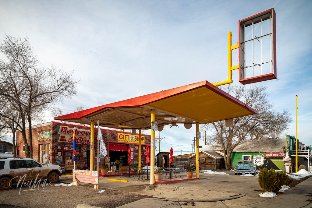
Zettlers Route 66 Store originally opened as a bakery in 1929. After World War II it became Zettlers Market and more recently was converted into a crafts and collectibles shop. Only a few months after the most recent owners opened the shop in 2016 it was put up for sale. I assume that it never sold as, when I visited, the business was permanently closed.
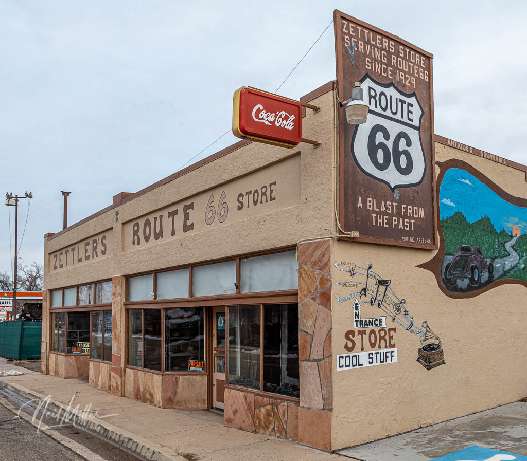
Zettler’s Route 66 Store 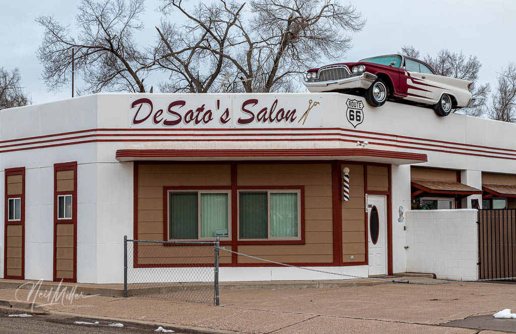
DeSoto’s Salon
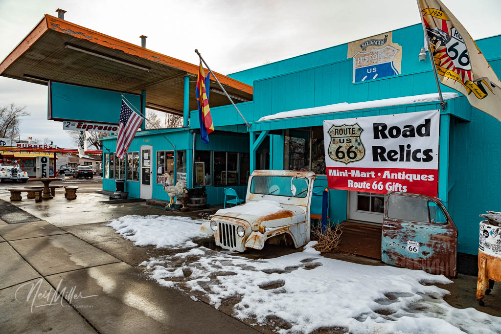
Just west of Ash Ford starts the 159 mile stretch of unbroken Route 66, the longest such stretch along the Mother Road. It is also a stretch that features a lot of recreations of the famous Burma-Shave signs.
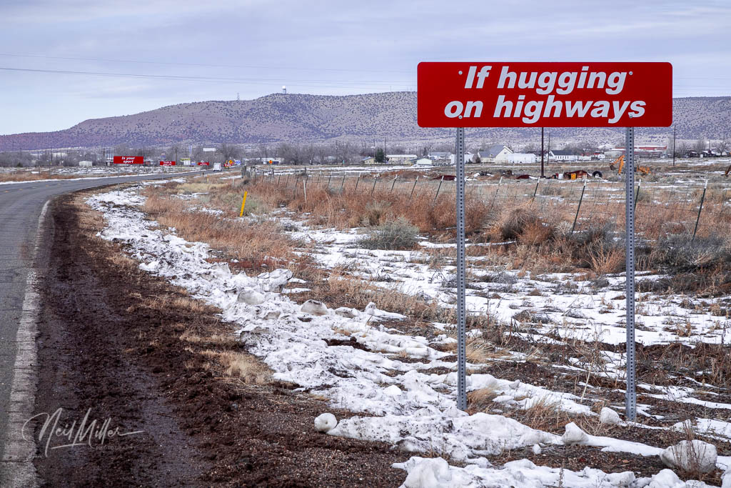
The Burma-Shave signs were an advertising campaign for a brushless shaving cream that ran from 1926 until 1963 when the company was sold to Phillips Morris. It featured a series of small signs with part of a message on each one. The signs were placed about 100 feet apart. The series to the left reads:
“If hugging on highways, Is your sport, Trade in your car, For a Davenport, Burma-Shave“
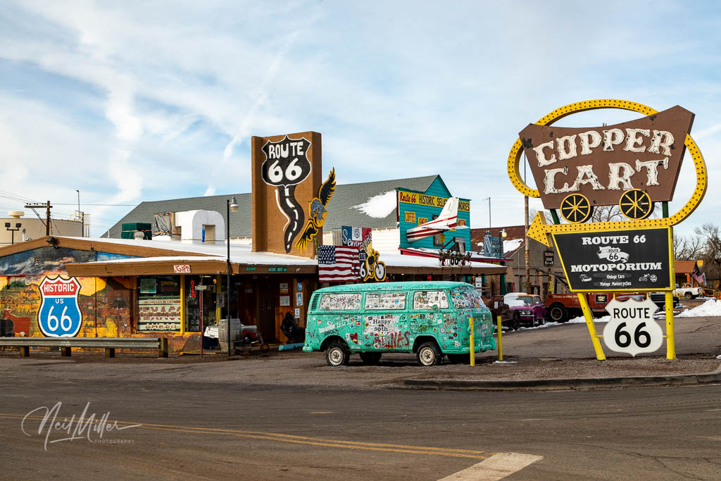
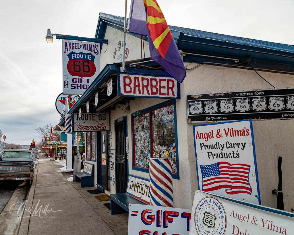
Seligman is an example of “a little town that could”. Once reliant on the traffic and tourism that came with Route 66 passing through town, Seligman, like so many other towns, suffered a serious setback in 1978 when I-40 bypassed it. But instead of fading into obscurity, the town fought back. Led by local barber and historian, Angel Delgadillo, the town convinced the State of Arizona to designate Route 66 as a historic highway earning itself the name “Birthplace of Historic Route 66”. Now, Seligman is a popular destination for tourists looking to savor a bit of Rt. 66 nostalgia.


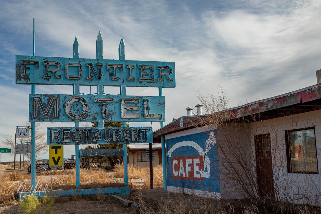
In 1950 there were plans to build a dam in the lower Colorado River near the village of Truxton. Anticipating a growth in traffic, local entrepreneurs built a gas station, cafe and motel. The dam was never built but the businesses thrived with the Route 66 traffic until the town was bypassed by I-40.
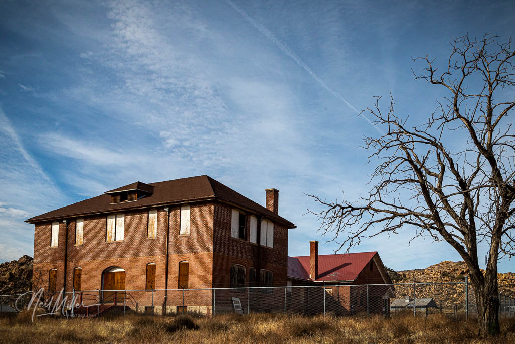
A bit further down the road, in the community of Valentine, stands the Truxton Canyon Training School. This residential school, opened in 1903, was designed to assimilate Hualapai Indian children into a white society. Children were removed from their families and forced to endure hard labor, disease, culture shock and homesickness. The school closed in 1937 and the dormitories were torn down in 1960. Today, the boarded up two-story brick school house stands as a reminder of a very sad part of history.
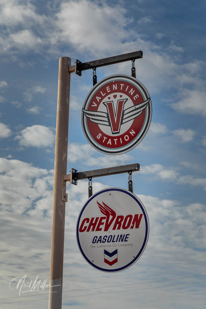
Out on Route 66 is the Valentine Station. It apparently is now a gift/souvenir shop but appeared to be closed when I stopped by.

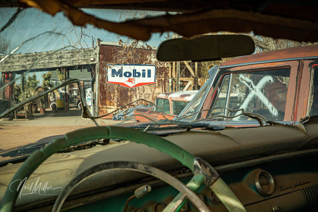
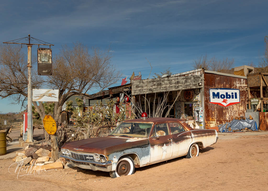
A little bit down the road is Hackberry which now is virtually a ghost town. Since its origins in 1974 it has been a silver mining town, a cattle town and a railway town. And of course it thrived during the Route 66 era. Pretty much all that is there now is the Hackberry General Store which is definitely worth a stop. The store is surrounded by an immense display of Route 66 artifacts. It is well worth the time to wander around this outdoor museum then visit the general store to check out their souvenirs. The owner is pretty interesting to talk to as well. I bought a great Route 66 shirt here – my only souvenir of the trip.


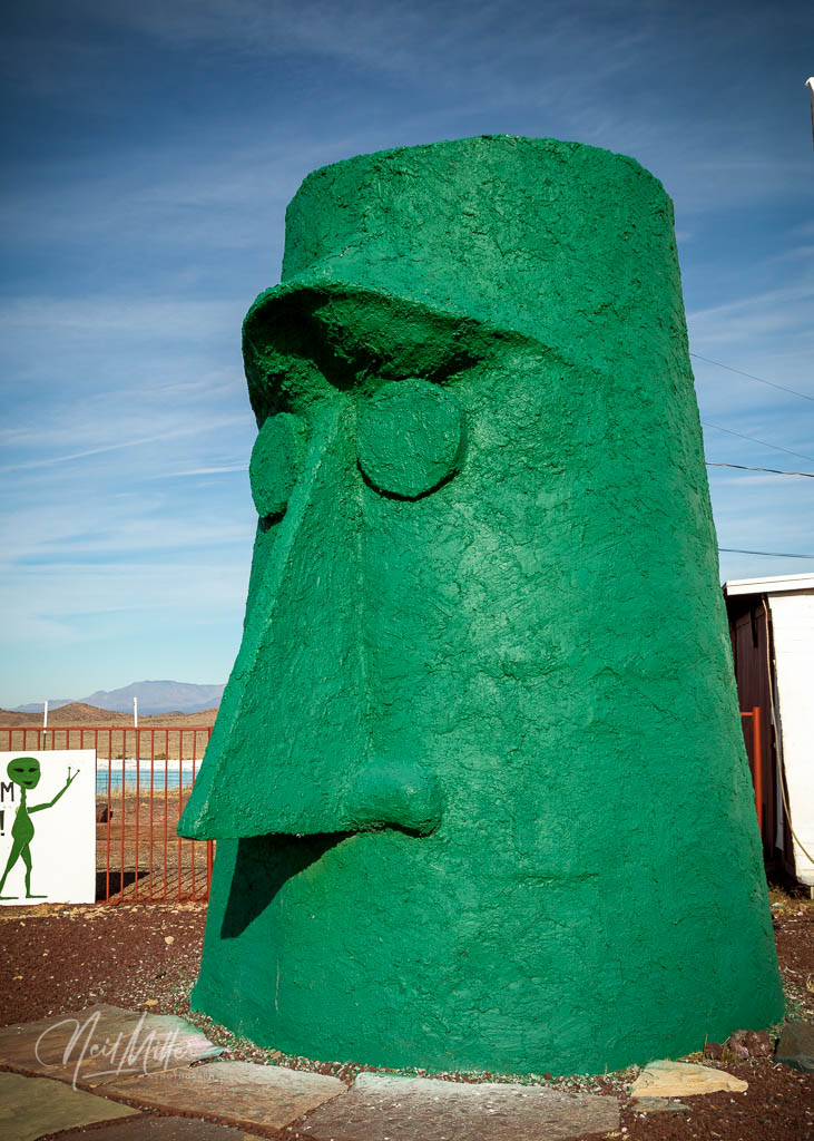
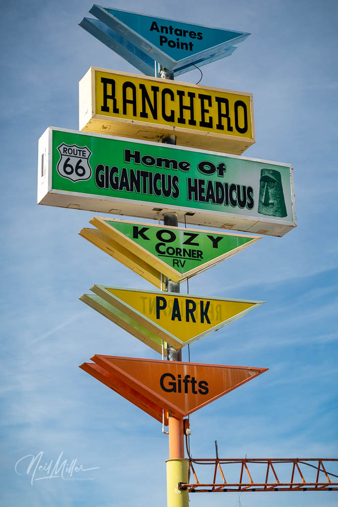
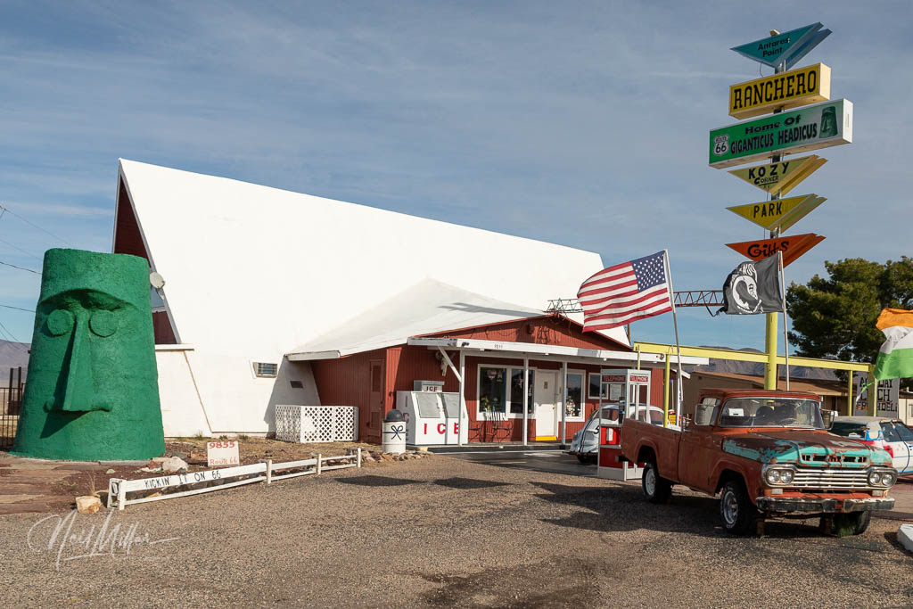
Not far from Hackberry is one of the weirder sites along this stretch of highway, the Giganticus Headicus at Antares Point. The green, tiki-statue-like sculpture was created in about 2003 by Greg Arnold, a local sculptor. The site also is home to a cafe, store and visitor center.
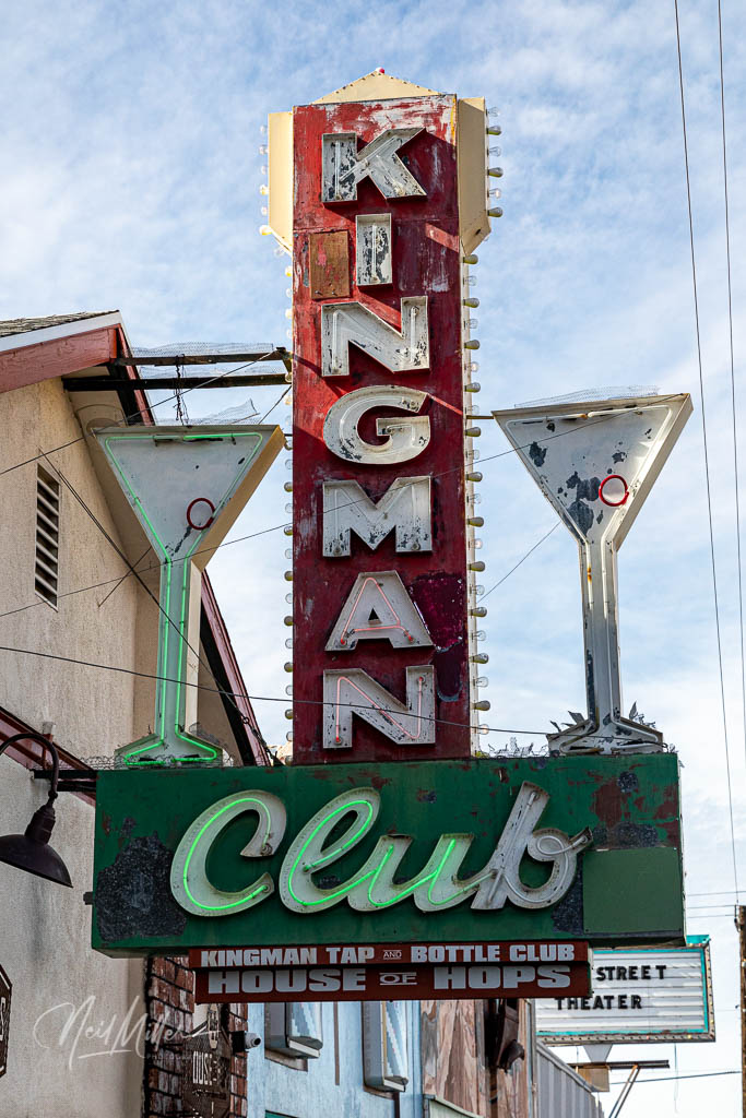
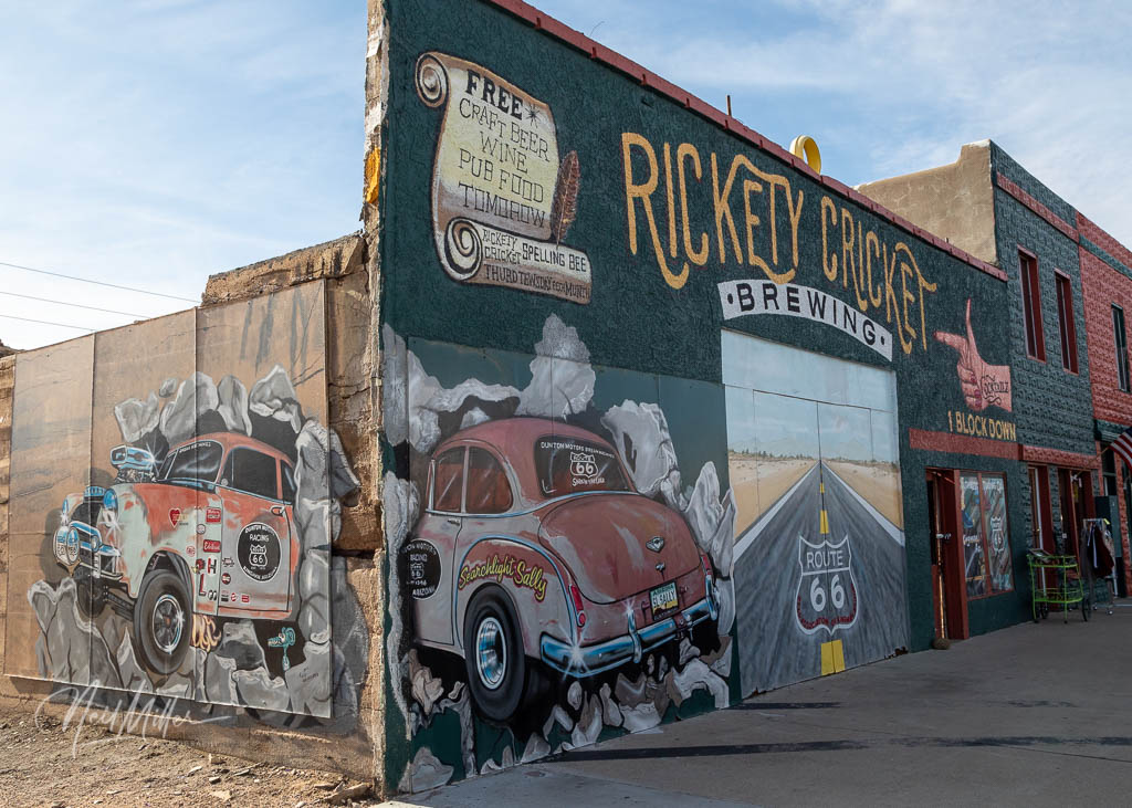
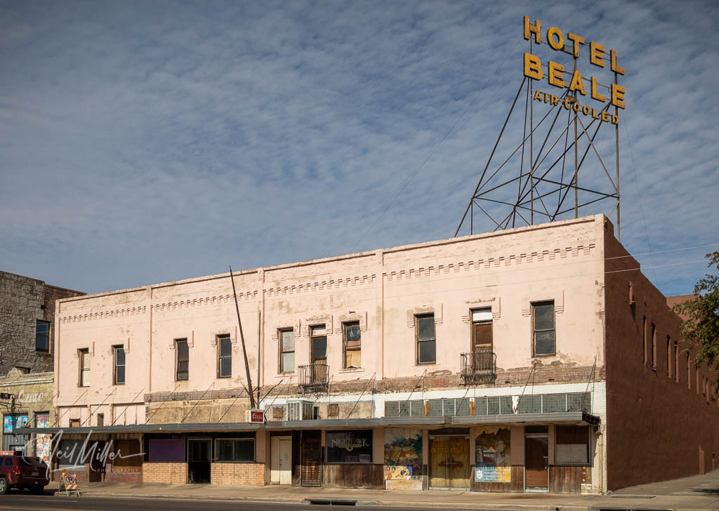
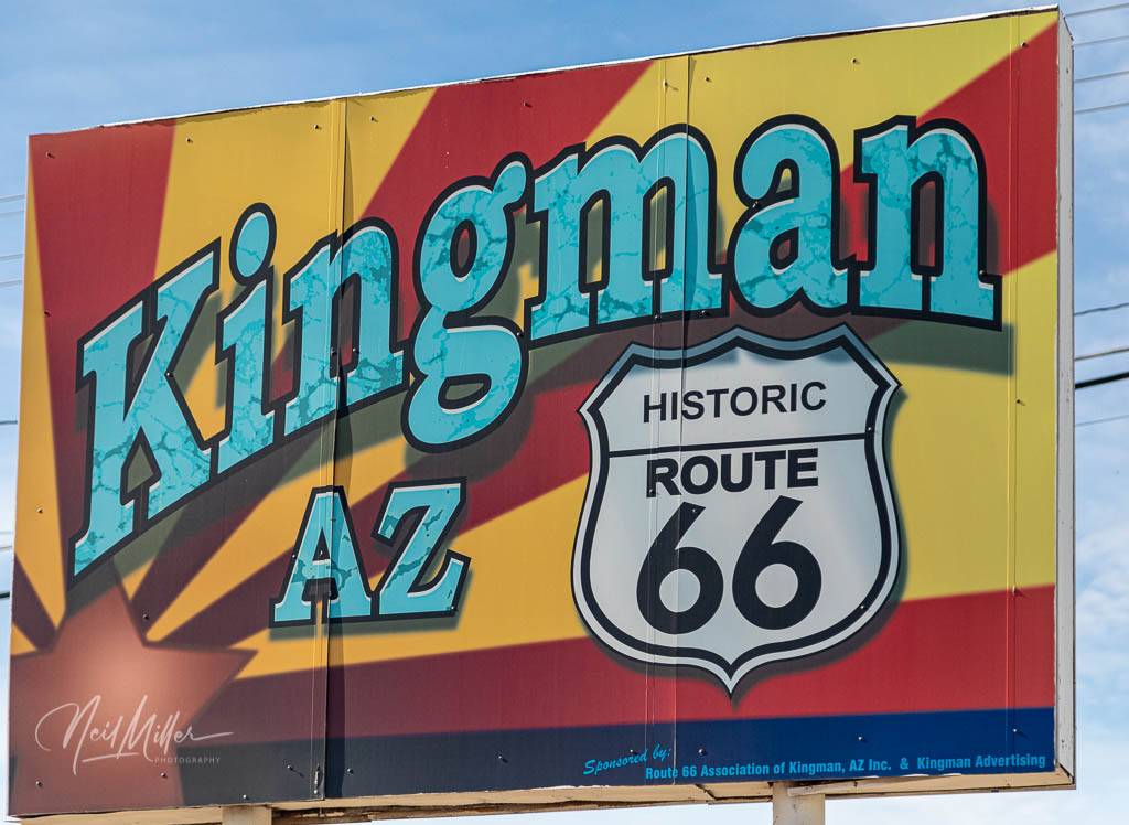
Just after checking out the Giganticus Headicus I entered Kingman. The city is located right in the middle of the longest contiguous section of Route 66, and the Mother Road runs right through the downtown. There is a lot to do and see in Kingman and I could definitely see spending a day or two exploring this thriving Route 66 community. Unfortunately I only had about an hour to spend strolling around the downtown area. It will definitely be worth a return trip at some point.

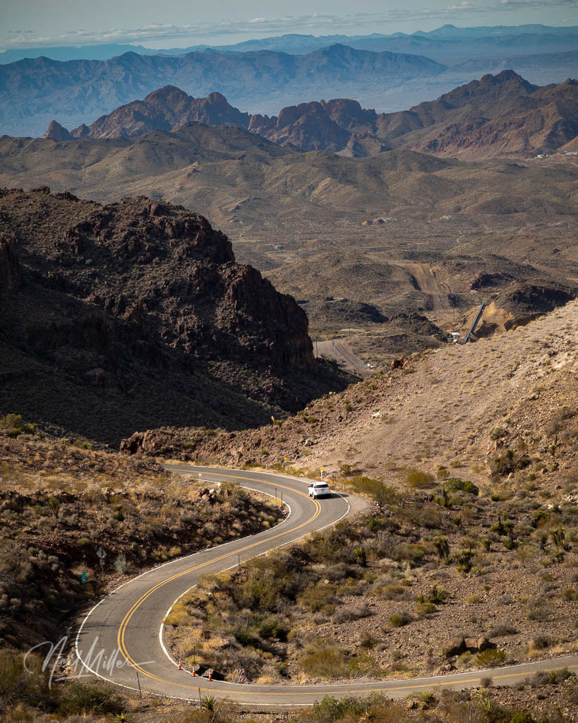
Shortly after leaving Kingman enroute to Oatman, you go through the Sitgreave Pass. The route can best described as an very scenic, narrow twisty turny road. It’s worth pulling off into the turnouts to enjoy the views!
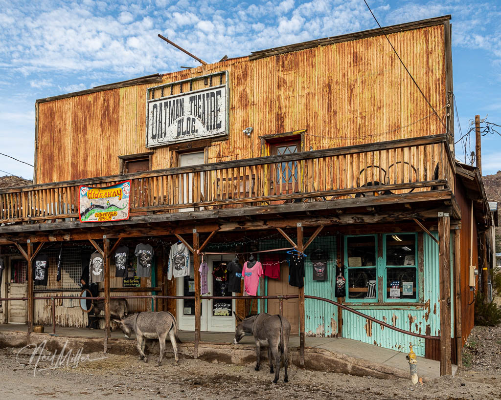
During the gold rush, the town of Oatman was one of the two largest gold producing towns in Arizona. Today, descendants of the burros that the miners brought and subsequently turned loose, run wild in the town. During the day they mooch treats from tourists, at nights they head up into the hills.
Clark Gable and Carol Lombard honeymooned in the Oatman Hotel. The streets of the town are still lined with the original old buildings, now full of souvenir shops and cafes. Route 66, which is essentially the only road through town, is blocked twice daily for gunfights. If you get caught by the road closure as I did, you may as well relax, park your car, and go for lunch.

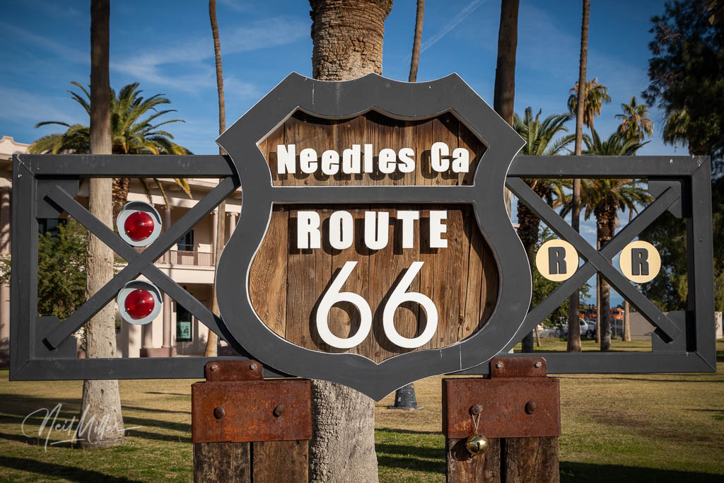
From Oatman I continued on to Needles, CA which was the starting point of my earlier California Route 66 adventure. You can read about those trips (I did California in several stages) in earlier blog post starting HERE.
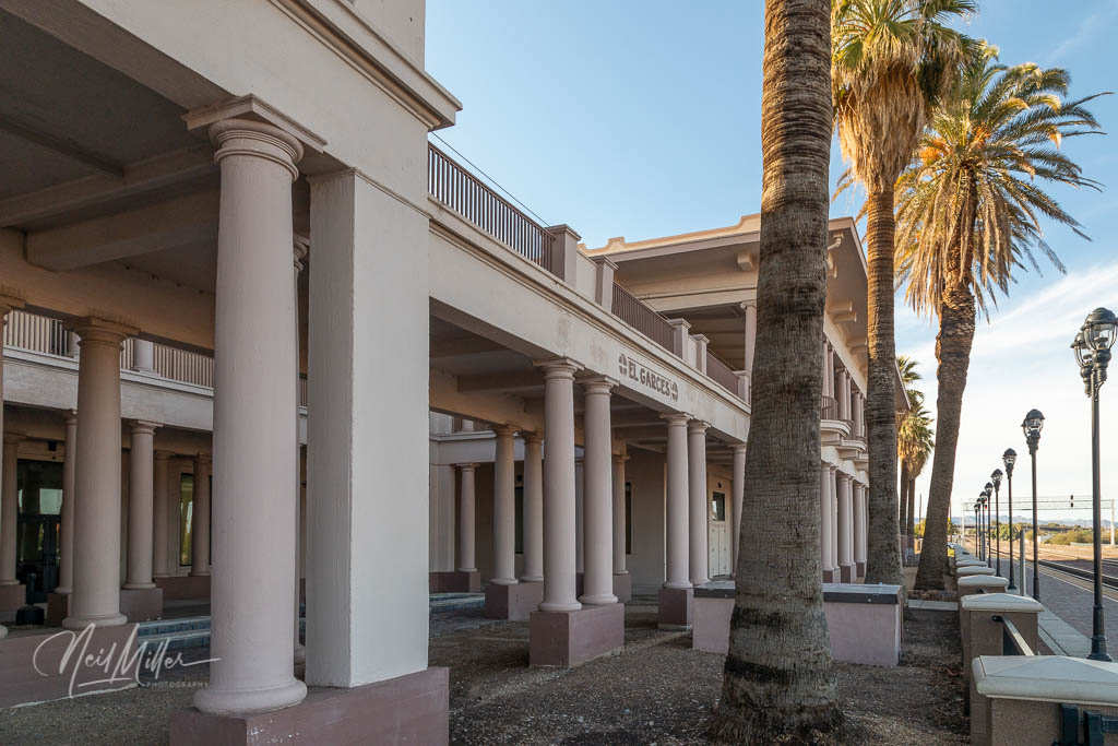
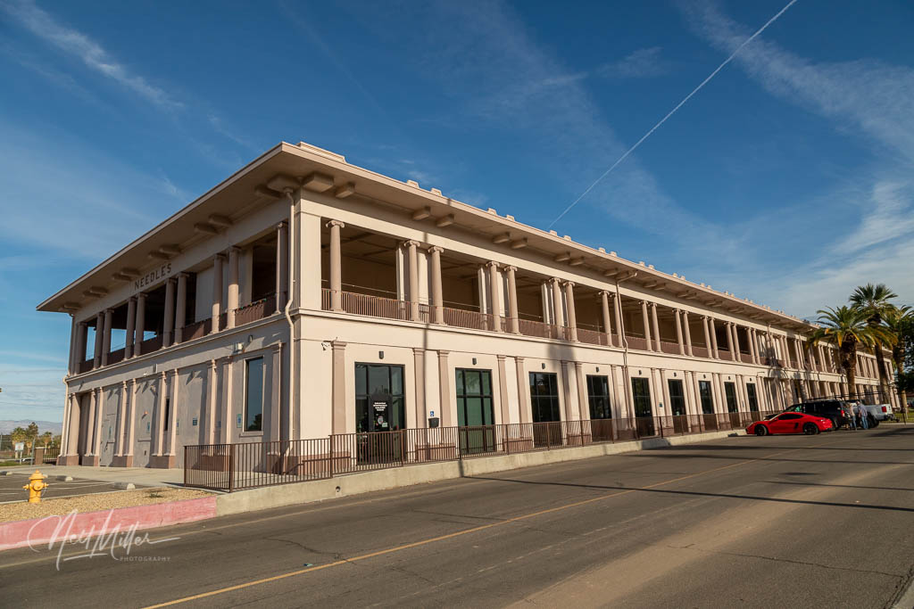
While in Needles though, I stopped to photograph the old El Garces Hotel, the former Harvey House hotel. Opened in 1908 the building was designed to suggest a Greek temple. Originally it housed a hotel, freight depot and train station. The hotel was considered a gem of the Harvey House chain and was a popular work location for the Harvey Girls. The hotel closed in 1949 and the building was boarded up save for the freight depot. The building was saved from demolition after the railway moved out in 1988. The City of Needles purchased the station in 1999. Plans to redevelop the building as a hotel were ultimately abandoned. Today the site serves as a multi-purpose building with space available to lease.


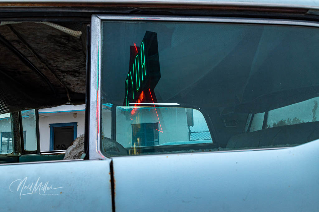
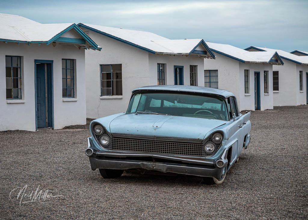
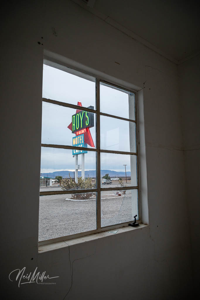
My timing was perfect and I arrived at Amboy, CA just before sundown as planned. The iconic Roy’s Motel sign had been restored and lit up for the first time in over 30 years in November 2019, a few weeks before my visit. Naturally I wanted to get shots of the lit up sign in all of its earlier glory. It was a beautiful sight to see! And it was the perfect end to another Route 66 adventure.


Leave a comment