

In Part 1 of this series, I covered some of the hikes trails in the Coachella Valley. In this part, I will cover some of the hiking trails within a reasonably short drive of the Palm Springs area. Again, I will make the caveat that I am not providing a detailed description of these hikes, rather I am sharing some of the photos taken on these hikes. Hopefully these photos will give some sense of some of the beautiful scenery on these trails.
As mentioned in Part 1, the only camera I carry on these hikes is my iPhone. With maybe one or two exceptions. all photos are “straight out of the camera” with no editing.
I will cover these trails by geographical area. Click on any photo in the following galleries to enlarge it.
Joshua Tree National Park
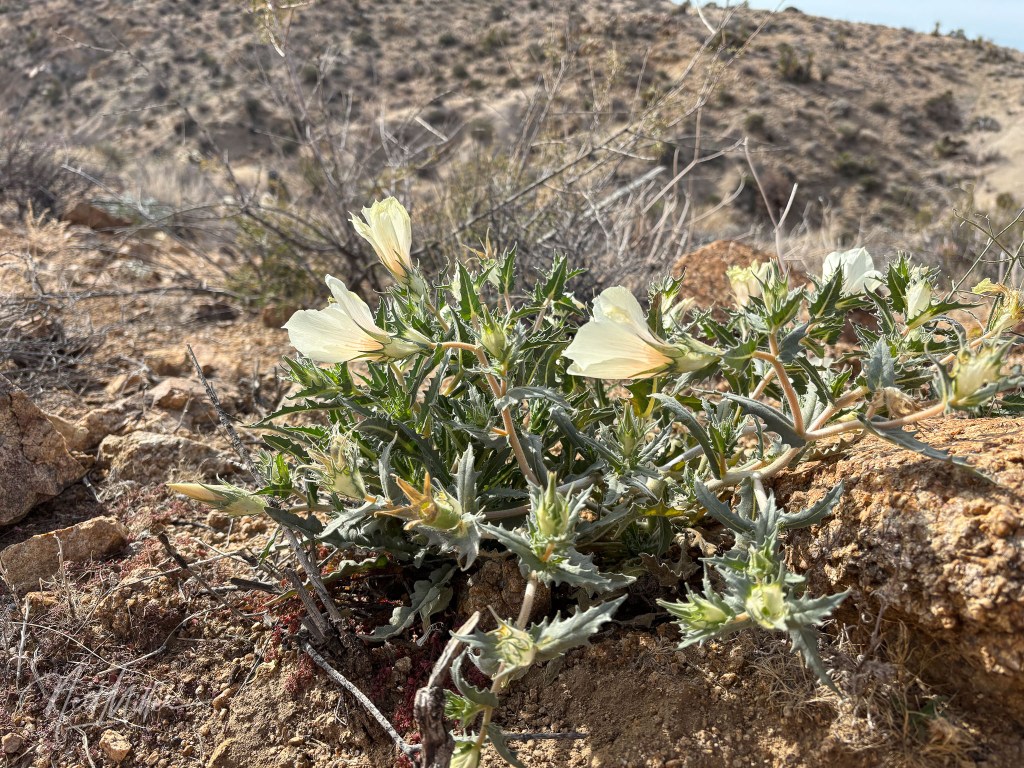
Near the Cottonwood entrance, just off of the I-10 at the East end of the Park, is the Lost Palms Oasis Trail. This is an out-and-back moderate hike of about 5 miles. As this is in the lower desert (Colorado Desert) of the park, you will not find any Joshua Trees along the trail, but there are lots of other desert plants present. The higher elevation parts of the trail offer some great views.
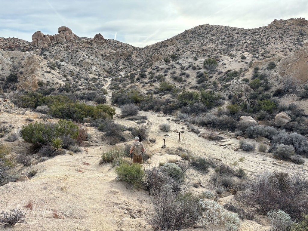
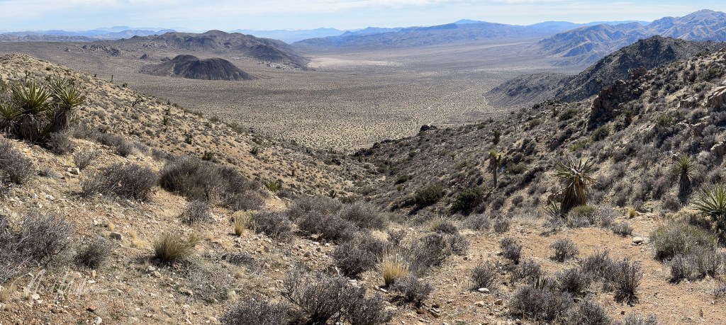
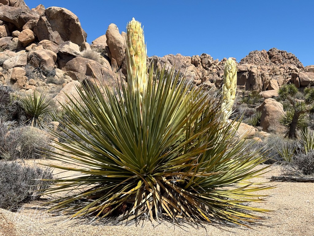
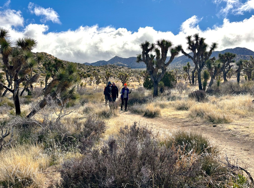
In the high desert (Mohave Desert) part of the park is the Lost Horse Mine Trail. This 7-mile loop is a great hike that includes an old abandoned mine site.


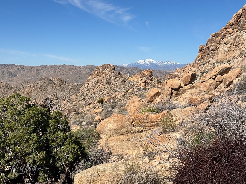
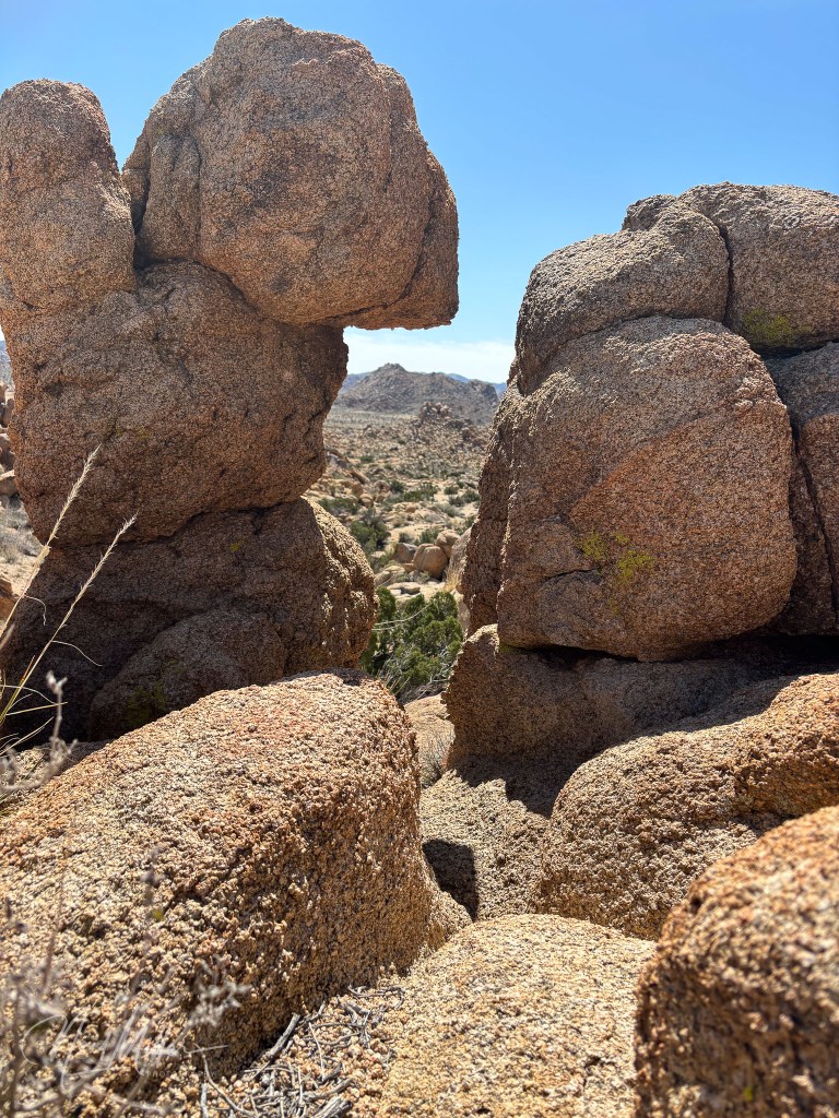
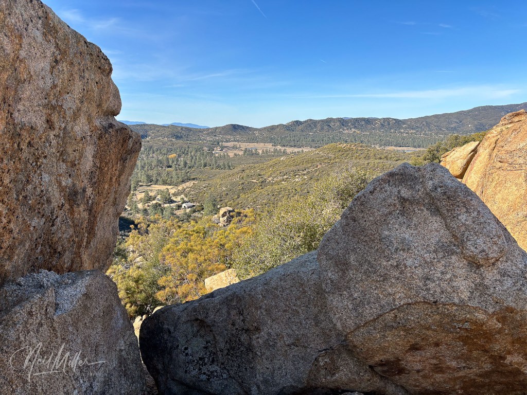
Closer to the West Entrance to Joshua Tree National Park is the Maze Window Trail. Actually there are various trails here that can be linked together to form hikes of different lengths. Along the Window Trail is, not surprisingly, an opening in one pile of rocks known as the window. Throughout these trails are amazing rock formations and desert views.
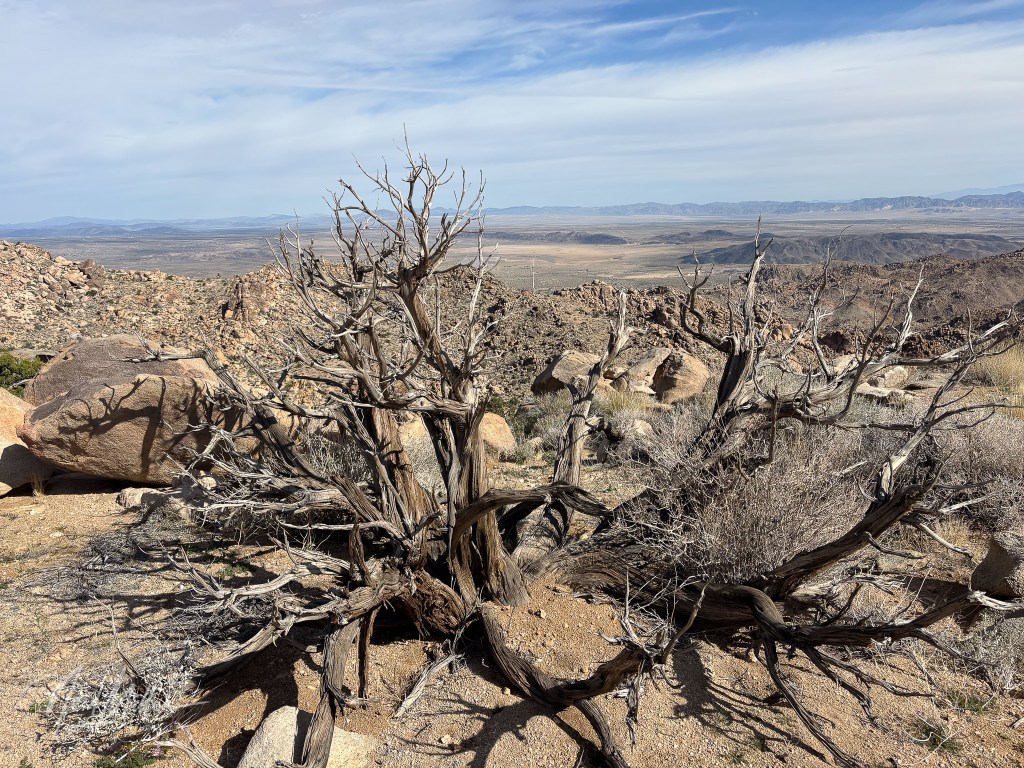
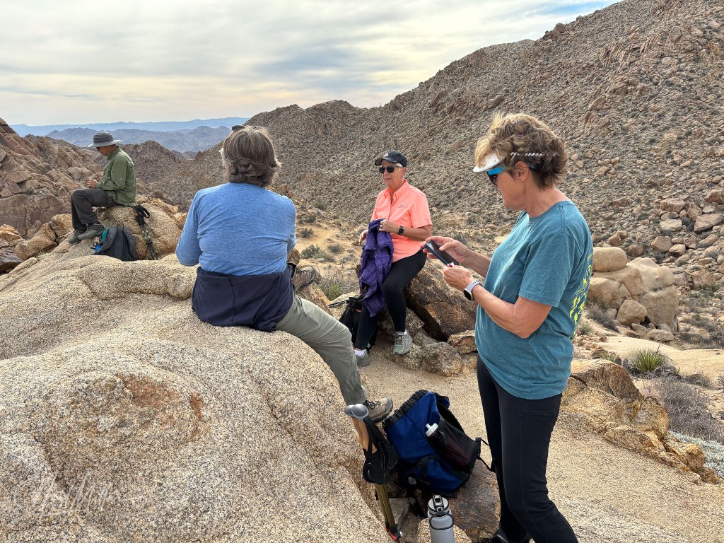
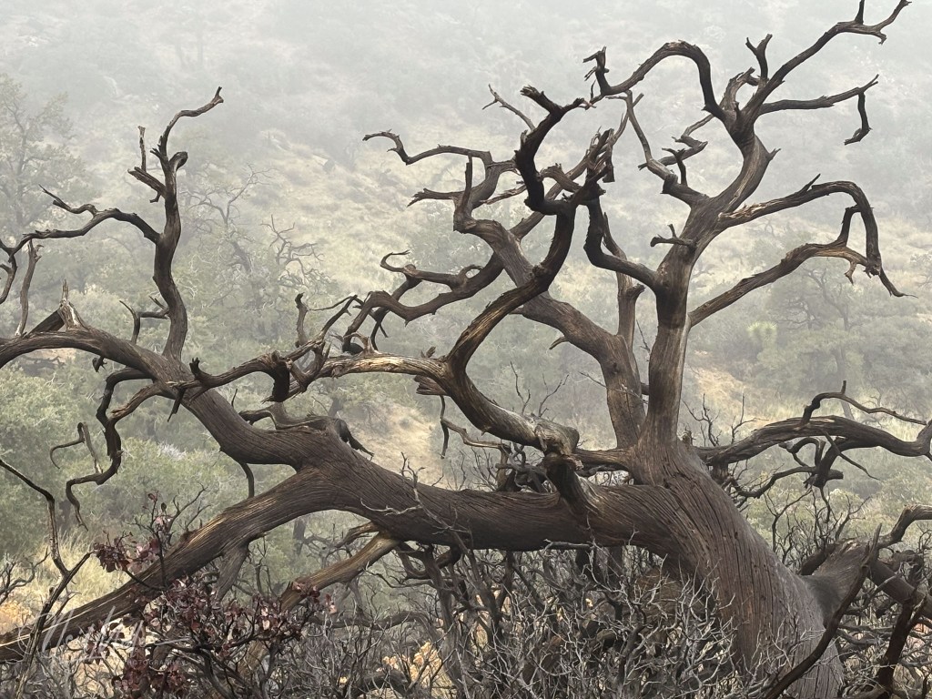
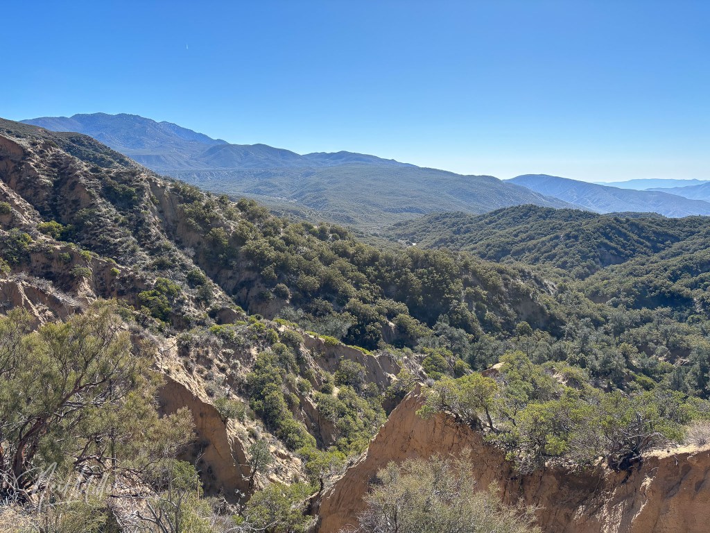
The trailhead for the Black Rock Canyon Trail is actually outside the Park in Yucca Valley. The hike does go into the park though. The day we did the hike, it was cold, windy and, at higher elevations, foggy. Actually the fog was caused by hiking into the clouds. From all reports, the views from the summit of this trail are spectacular, however, when we did it the visibility was very limited. The loop trail is about 6 miles in length.


Highway 74 and Vicinity
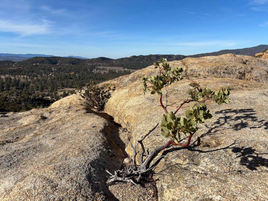
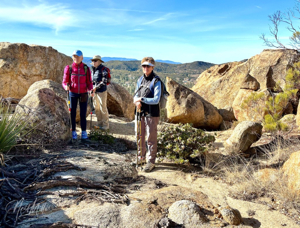
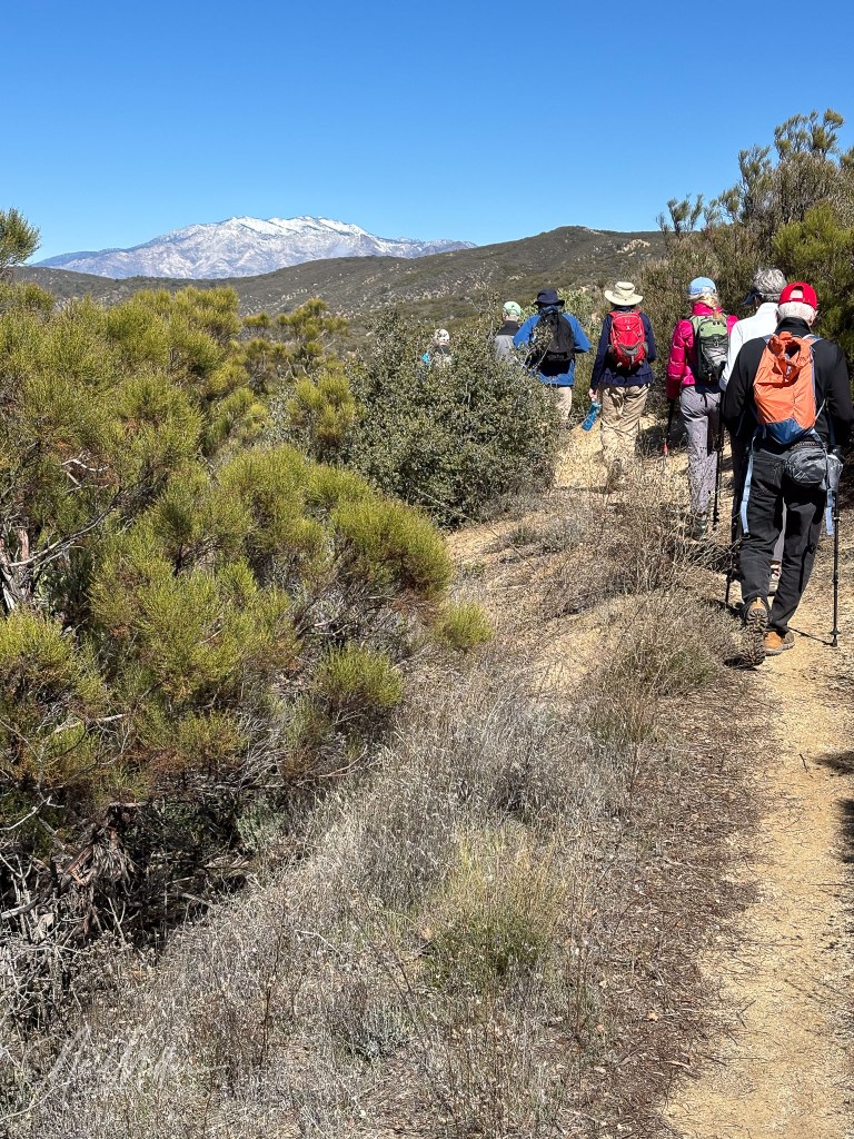
For a change from desert hikes, just travel up Highway 74 from Palm Desert. The highway is also known as the Palms to Pines Highway as it takes you up out of the desert to the pine forests of the Santa Rosa Mountains. Temperatures at the higher elevations are typically somewhat cooler than in Coachella Valley, so this area is popular for summertime hikes when the temperatures in the Valley make hiking potentially dangerous.
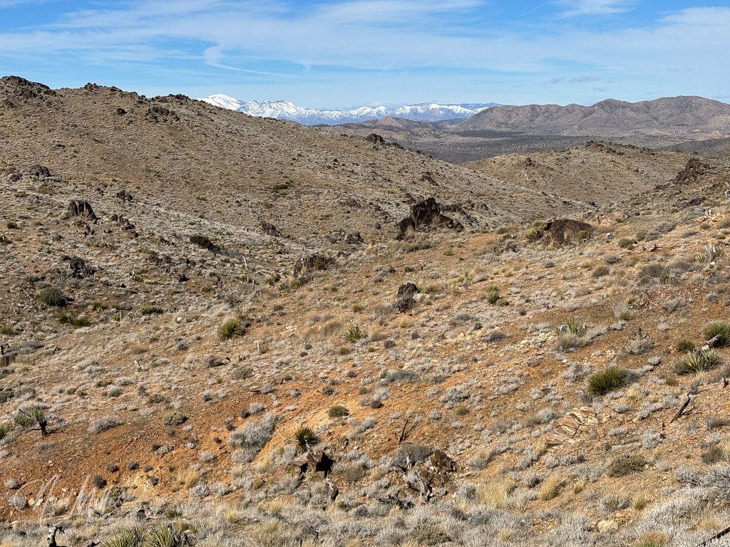
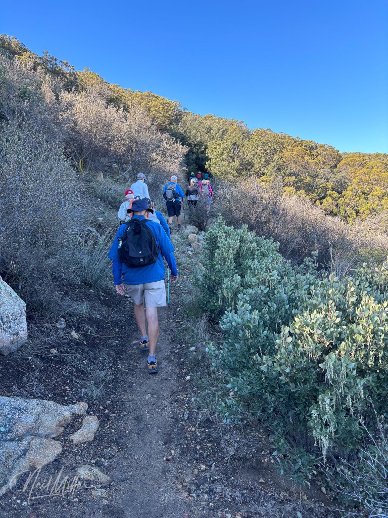
The PCT North of Hwy 74 Trail follows the Pacific Crest Trail. We hiked out about 3 miles then returned the same way. The trail takes you through a pine forest and is absolutely beautiful.

Right across Highway 74 is the PCT South of Hwy 74 Trail. Not surprisingly, this hike follows the PCT Trail south of the highway for a distance. Again, we followed the trail for about 3 miles then returned. Like its counterpart north of the highway, the views are spectacular.
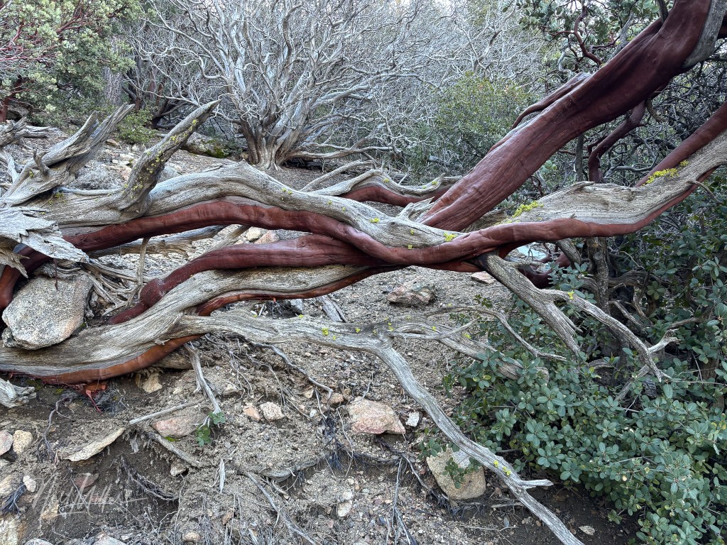
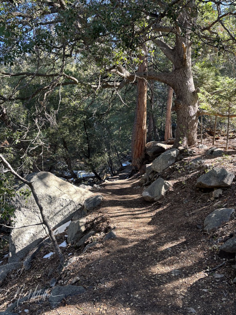
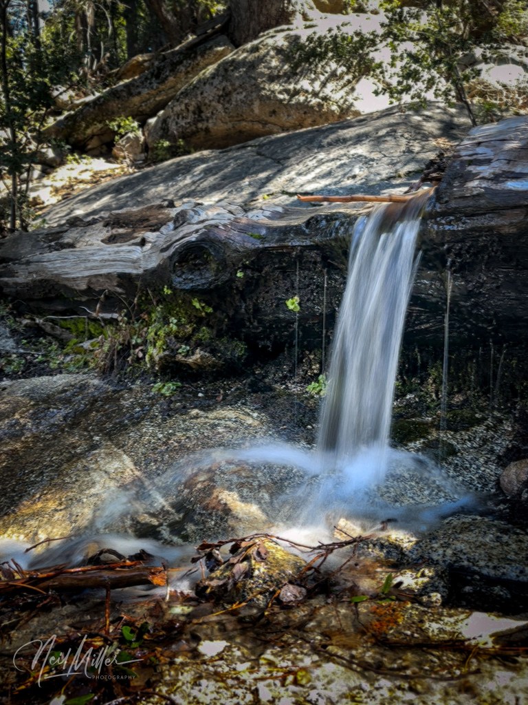
I am including the final hike under the broad heading above as you start by driving up Highway 74 then turning off to continue on to the town of Idyllwild. On the edge of town is the Ernie Maxwell Trail. We hiked this trail in late March. There were still some remnants of snow around but the trail itself was in great shape. This was the last hike of the season for our hiking club and it was a spectacular finale. The trail crosses a small stream several times. Winter runoff generated lots of water in the stream and a number of little waterfalls.
If you enjoy my photography, check out my gallery site at neilmillerphotography.com – just click the “Photo Gallery” tab at the top of this page.


Leave a comment