
Palm Springs and the Coachella Valley in Southern California is an area well known for great hiking trails. After a hiatus of several years (since before Covid) I got back into hiking over this past year with my local hiking club.
Hiking and fine art photography don’t really go hand-in-hand. Hikers are there to hike, not to stand around waiting while I set up the perfect composition. As a result, I have been using my iPhone camera to capture memories during pauses in the hikes. Over the past months I’ve come to really appreciate the capabilities of my camera phone.
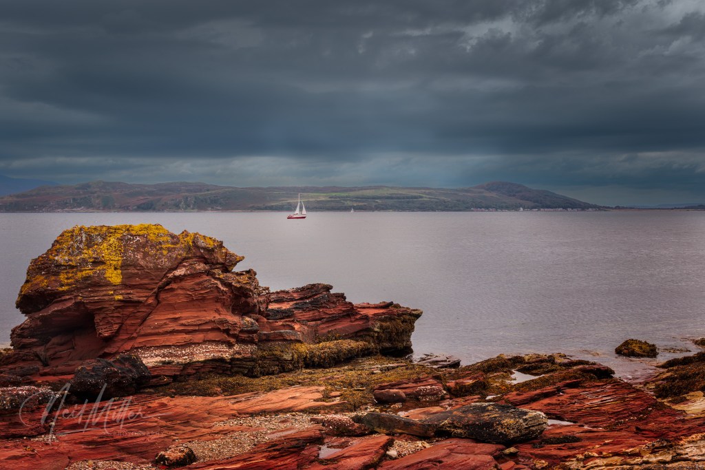
The photos in this post were all taken with my iPhone 15. With only 2 or 3 exceptions, all are straight out of the camera with no post processing involved.
Rather than reviewing the hikes in chronological order, I will group them somewhat geographically. I will also begin with a caveat that this post, and the next one, are not intended as detailed descriptions of these trails. There are other resources for that. Rather, my intent is, using a collection of iPhone photos, to portray some of the beauty of some of the hikes in this part of Southern California.
Part 1 will cover some of the hikes in the Coachella Valley. The next post (Part 2) will cover some hikes a short distance from the Valley.
Click on any image in the following galleries to view larger sized views.
Coachella Valley
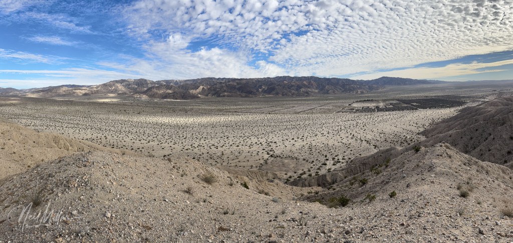
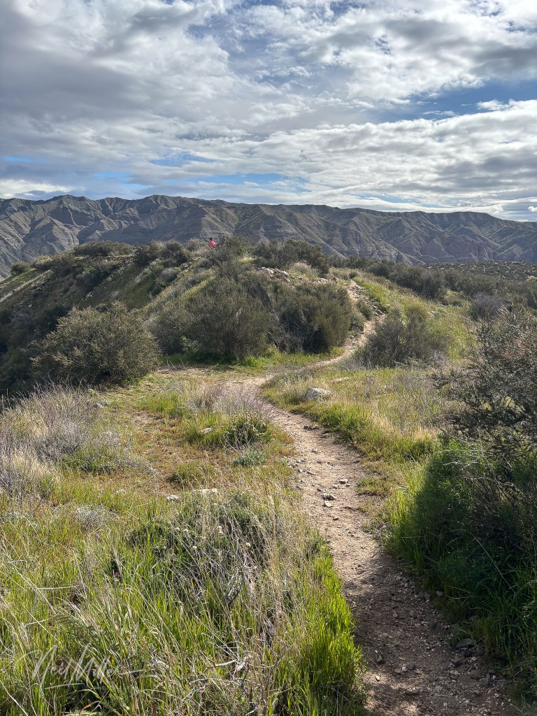
Just on the edge of Indio is the Indio Hills Badlands Trail. This very popular hike is about 5.2 miles long with elevation gain of 780 ft. Rated as moderate, it offers some great views of the Coachella Valley.


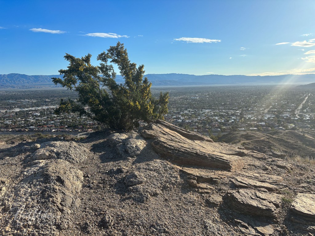
A little further west, in the hills above Palm Desert are crisscrossed with a multitude of trails. One hike we did was a combination of the Homestead Trail, Hopalong Cassidy Trail, and Herb Jeffries Trail. This is a fairly easy trail although it has a fairly steep start and finish. It offers some great views out over Palm Desert.

Palm Springs offers numerous great hikes, many of them in the Indian Canyons area.
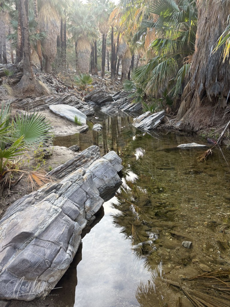
The Murray Canyon trailhead is not far from the entrance gate to Indian Canyon. This is a popular 5-mile loop trail rated moderate. The total elevation gain is about 500 ft. This hike takes you through a Palm oasis with a stream running through it. You need to cross the stream several times on the way up to the little waterfall at the top.


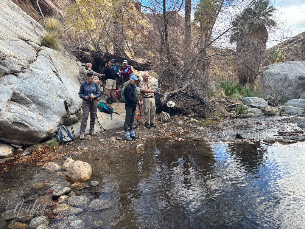

Further into Indian Canyon, there are a number of hikes that start near the Trading Post. The Victor Trail takes you up onto a ridge line with great views of Palm Springs and area, before dropping down into Palm Canyon. The final mile or so winds its way along a stream through a palm oasis. Particularly on a sunny day, the shade in the oasis is a welcome end to this hike.


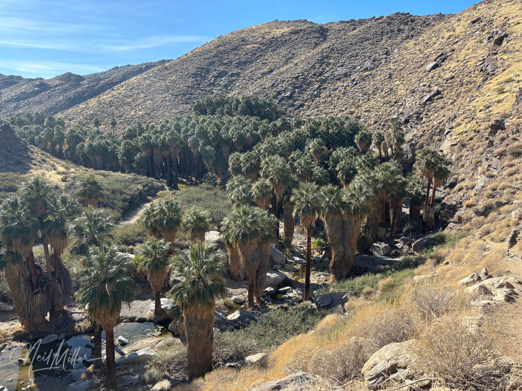
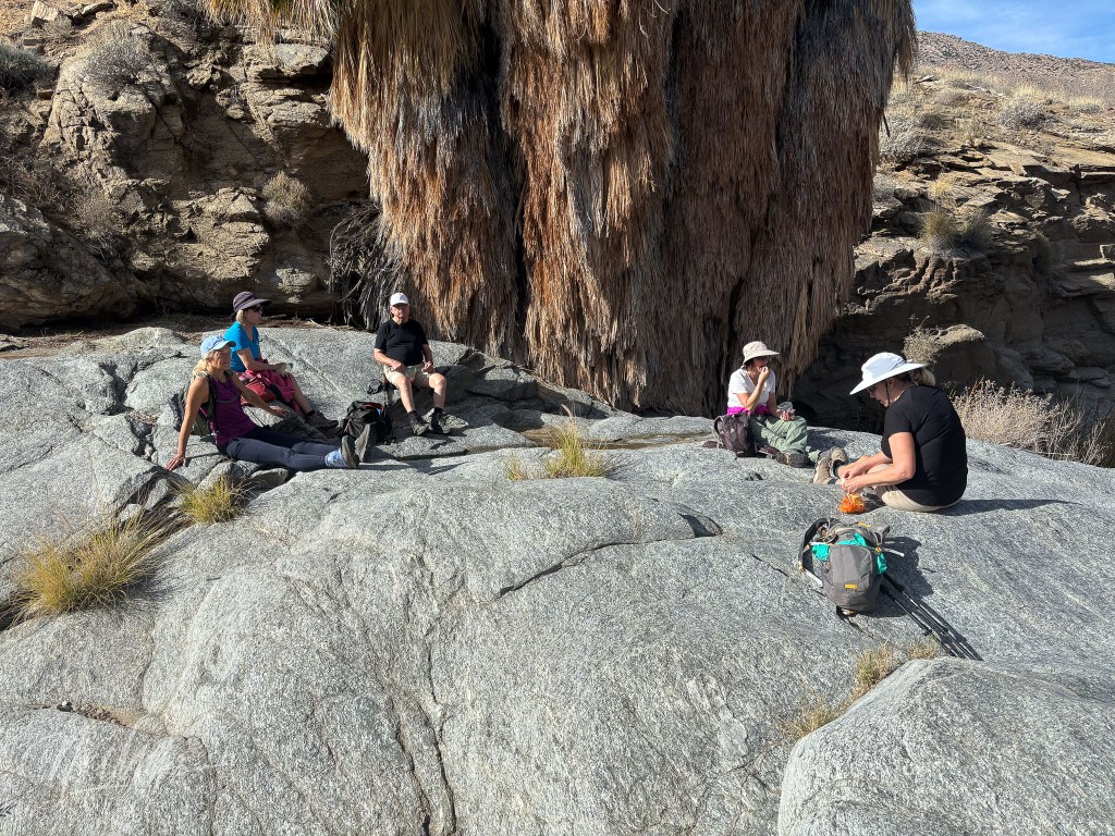
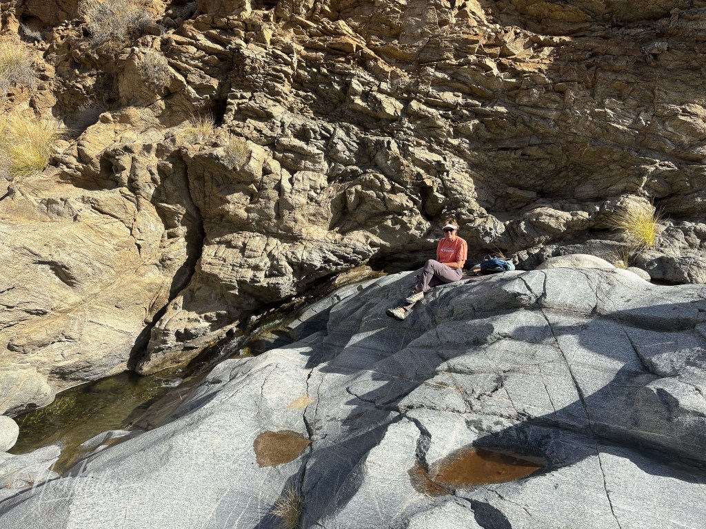
The Palm Canyon to Stone Pools hike is a 6 mile out and back trail with an elevation gain of about 900 ft. After the first mile or so hiking through the palms in Palm Canyon, you begin the climb our of the canyon. At the end you are rewarded with some beautiful little stone pools and small waterfalls. It’s a great spot to relax and enjoy a snack before returning the way you came.


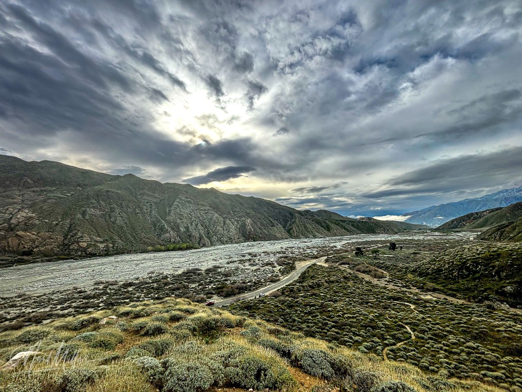
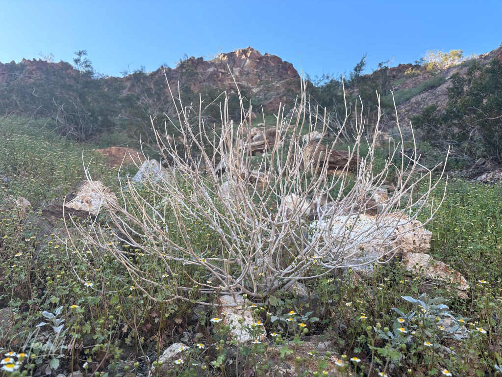
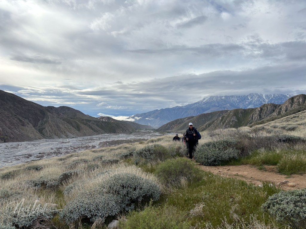
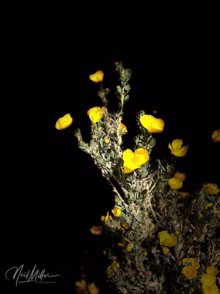
As one starts to climb out of the Coachella Valley from Palm Springs, there is a turnoff to the Whitewater Preserve. The original plan was to hike the Whitewater Canyon View Loop. Unfortunately, storm damage from Hurricane Hilary damaged parts of the Preserve and part of the loop is closed indefinitely. You can so part of the loop as an out-and-back, which still makes for a pretty nice hike with spectacular views. The first image below did have some post processing done on it. I would also point out that the yellow flowers image was done strictly in-camera: there was no post processing done on it.


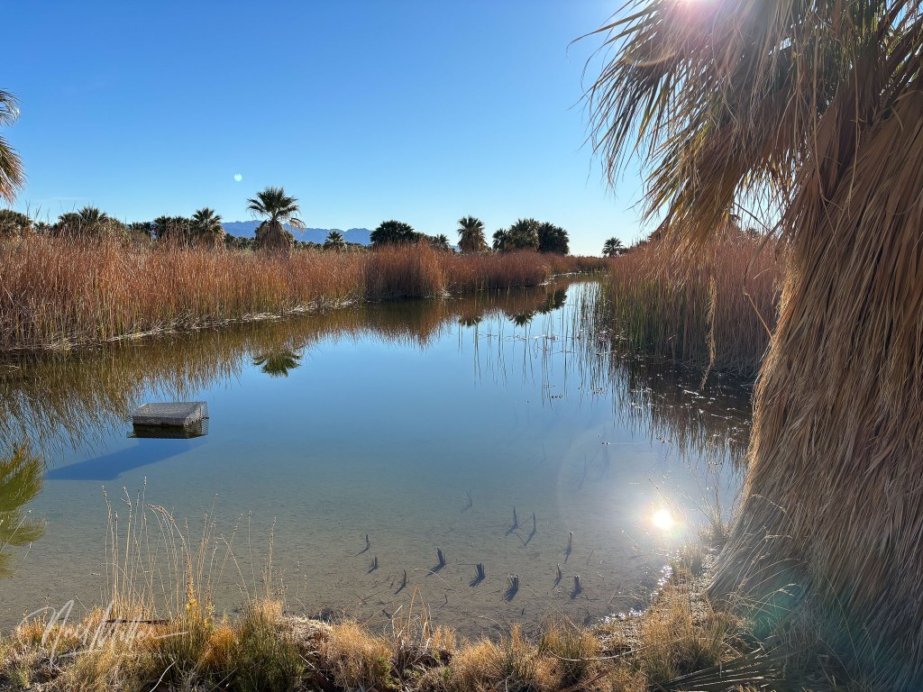
The final hike I will cover in Part 1 is the Dos Palmas Preserve, east of the Salton Sea. A series of ponds, fed by artesian wells and leakage from the Coachella Canal form a wetland surrounded by palms and other vegetation. I have visited the Preserve several times and it is a beautiful area just to wander around. Sadly, in mid-February, a controlled burn went out of control and the resulting wildfire burned much of the Preserve. The photos below were taken just over a month before the fire. I have not been there since to see how much damage was done.


In Part 2 I will cover some of the other hikes we did outside of the Coachella Valley.
If you enjoy my photography, check out my gallery site at neilmillerphotography.com – just click the “Photo Gallery” tab at the top of this page.

Leave a comment